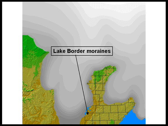
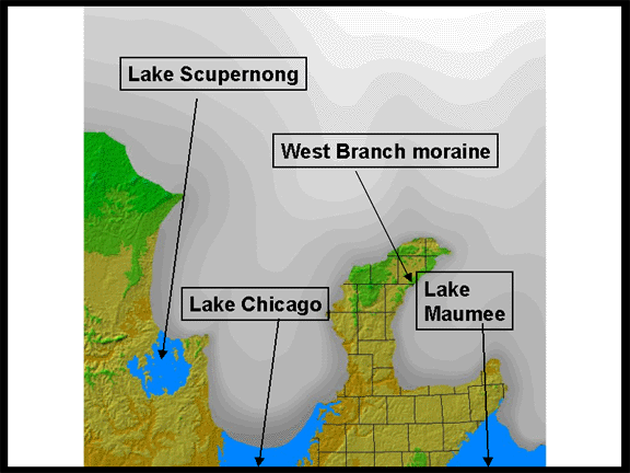
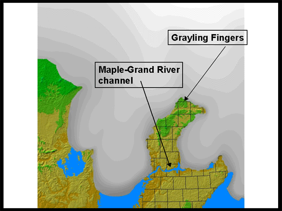
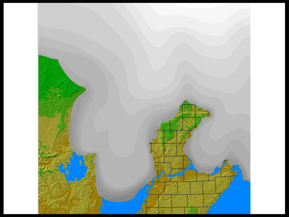
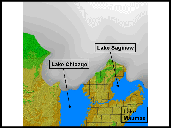
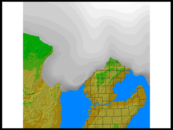
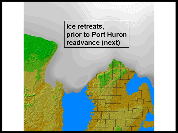
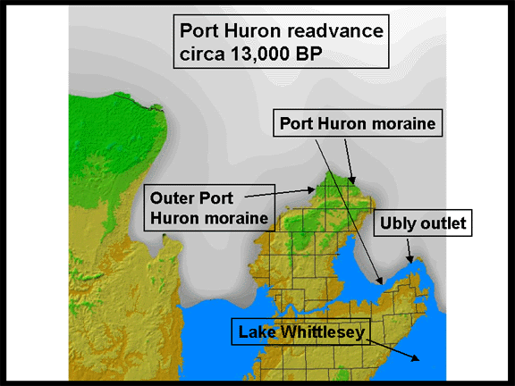
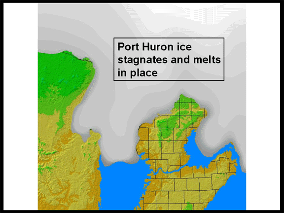
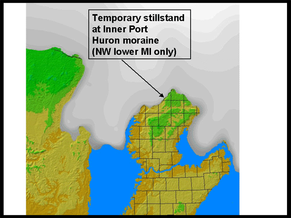
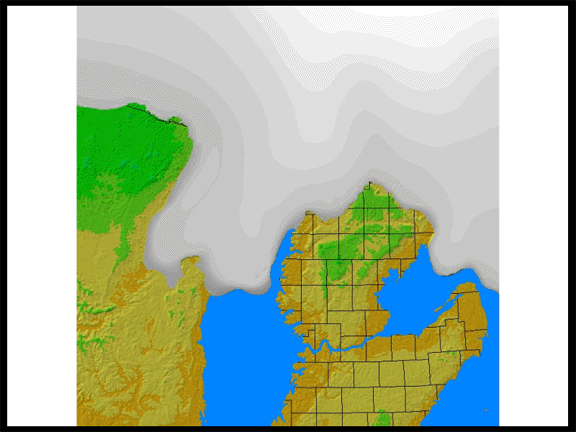
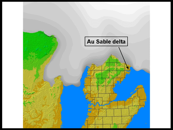
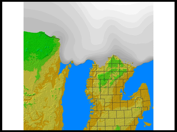
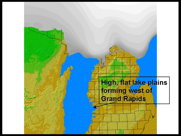
DETAILED DEGLACIATION Part II
This
series of images was created by Frank Krist, a former Geography/Archeology
grad student, and edited by Dr. Schaetzl, to help students understand the
deglaciation history of Michigan.
This material has been compiled for educational use only, and may not be reproduced without permission. One copy may be printed for personal use. Please contact Randall Schaetzl (soils@msu.edu) for more information or permissions.