LAKE HURON
Lake Huron is named for the Huron Indian tribe, that frequented this part of Michigan when
Europeans first arrived. Hence, "Lake of the Hurons". Lake Huron is
the third largest of the lakes by volume, with 850 cubic miles of water. Lake Huron is
hydrologically inseparable from Lake Michigan, joined by the wide Straits of Mackinac. The
Huron lakeshore extends 3,827 miles, and is characterized by shallow, sandy beaches and
the rocky shores of Georgian Bay. The lake measures 206 miles across and 183 miles north
to south, with an average depth of 195 feet (approximately 750 feet, maximum). Lake
Huron's drainage area, which covers parts of Michigan and Ontario, is relatively large
compared to the other Great Lakes. It's more than twice the size of Huron's approximately
23,000 square miles of surface water. The Saginaw River basin is intensively farmed and
contains the Flint and Saginaw-Bay City metropolitan areas.
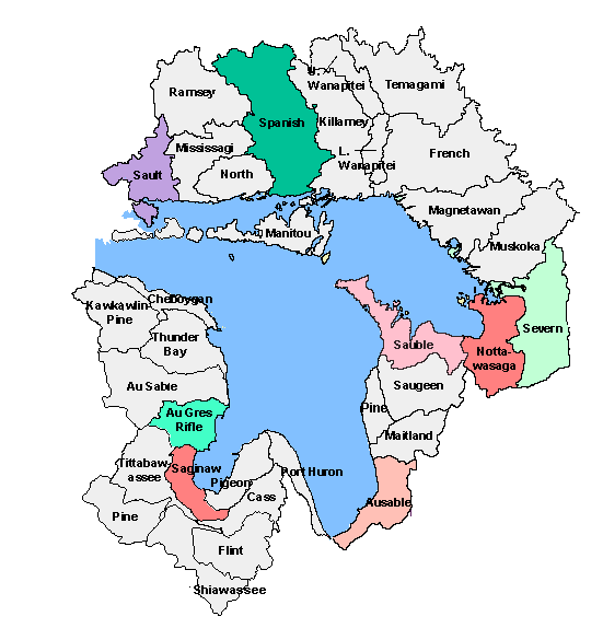
On the Michigan side, Lake Huron's major tributaries include the Au Sable and the Saginaw Rivers. The Saginaw River collects water from several tributaries, all of which become "dammed" behind the Port Huron moraine. At a low spot in the moraine, the Saginaw River overtops it and flows into Saginaw Bay. Farther north, the base flow streams of the sandy uplands, such as the Au Sable, provide a steady flow of clear, cold water into the lake. The Thunder Bay River drains the karst country of Alpena and Preque Isle Counties.
FACTS
Length - 206 miles / 332 km.
Breadth - 183 miles / 245 km.
Ave. Depth - 195 ft. / 59 m.
Max. Depth - 750 ft. / 229 m.
Volume - 850 cubic miles / 3,540 cubic km.
Water Surface Area - 23,000 sq. miles / 59,600 sq. km.
Drainage Basin Area - 51,700 sq. miles / 134,100 sq. km.
Shoreline Length (including islands) - 3,827 miles / 6,157 km.
Elevation - 577 ft. / 176 m.
Outlet - St. Clair River to Lake Erie
Retention/Replacement Time - 22 years
Name - Since its French discoverers knew nothing as yet of the other lakes, they called it
La Mer Douce, the sweet or fresh-water sea. A Sanson map in 1656 refers to the lake as
Karegnondi.
Lake Huron is the second largest Great Lake by surface area and the fifth largest
freshwater lake in the world.
It has the longest shoreline of the Great Lakes, counting the shorelines of its 30,000
islands.
Manitoulin Island is the largest freshwater island in the world.
Georgian Bay and Saginaw Bay are the two largest bays on the Great Lakes.
Early explorers listed Georgian Bay as a separate sixth lake because it is nearly
separated from the rest of Lake Huron by Manitoulin Island and the Bruce Peninsula.
Georgian Bay is large enough to be among the world's 20 largest lakes.
Huron receives the flow from both Lake Superior and Lake Michigan, but water flows through
Lake Huron (retention time) much more quickly than through either of them.
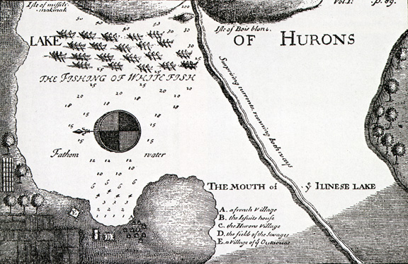
Huron was the first of the Great Lakes to be discovered by European explorers.
Shipwrecks are scattered throughout the lake, with five bottomland preserves in Michigan
and a national park in Ontario designated to protect the most historically significant
ones.
The Lake Huron basin is heavily forested, sparsely populated, scenically beautiful, and
economically dependent on its rich natural resources.
This material has been compiled for educational use only, and
may not be reproduced without permission. One copy may be printed for personal
use. Please contact Randall Schaetzl (soils@msu.edu)
for more information or permissions.